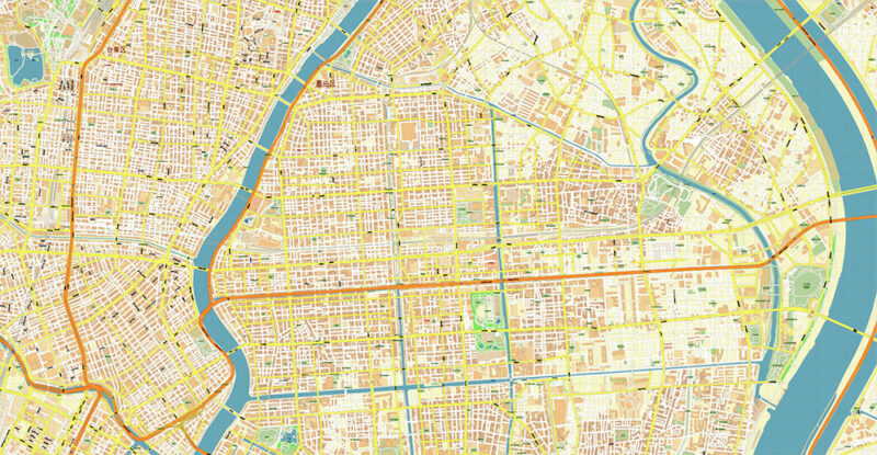
Koto City Tokyo Japan Map Vector Exact City Plan High Detailed Street Map editable Adobe Illustrator in layers
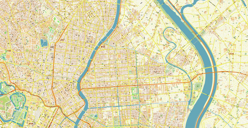
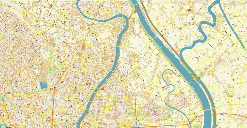
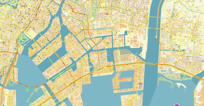
Koto City Tokyo Japan Map Vector Exact City Plan High Detailed Street Map editable Adobe Illustrator in layers
$ 51.30
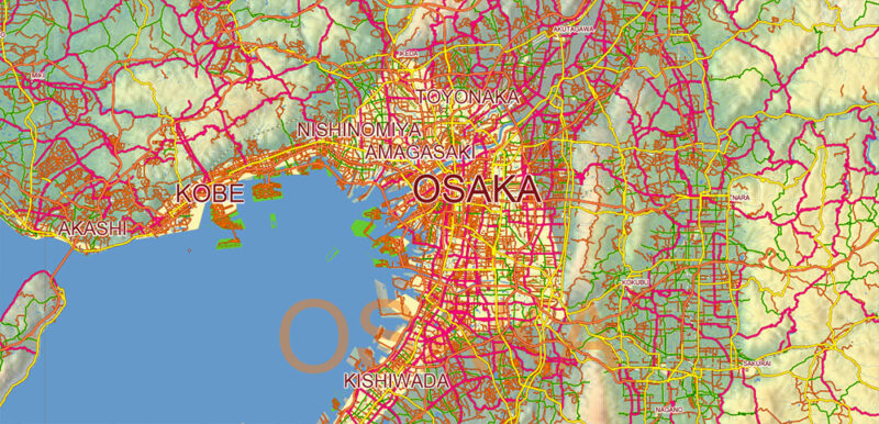
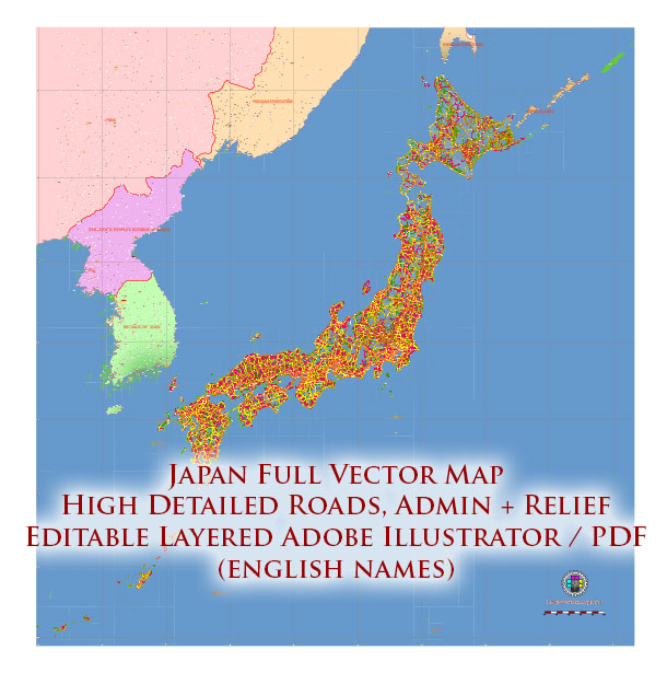
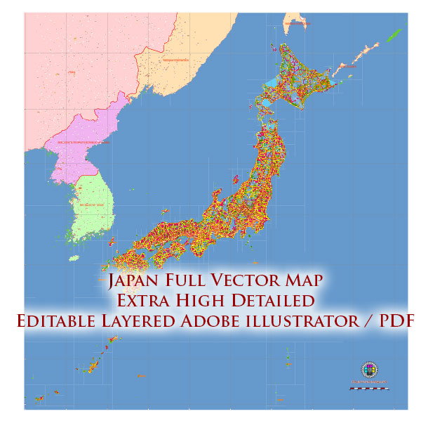
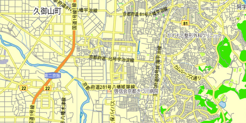
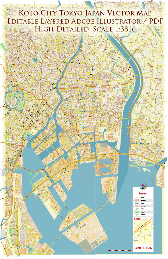
Printable Vector Map of Koto City Tokyo Japan detailed street map scale 1:3816 full editable Adobe Illustrator scalable, text all names, 28 MB ZIP All street names, Main Objects, Buildings. Map for design, printing, arts, projects, presentations, for architects, designers, and builders, business, logistics. Koto City Tokyo Japan Map Vector Exact City Plan High Detailed Street Map editable Adobe Illustrator in layers Layers list: Legend and scale Grids Labels of roads Names of places (city, hamlet, etc.) Names of objects (parks, water, Hospitals) Names of main streets Names of residential streets Arrows of streets Main Streets, roads Residential streets Buildings Buildings 2 transparent 50% Airports and Heliports Water objects (rivers, lakes, ponds) Waterways Color fills (parks, hospital areas, land use, etc.) Islands Background and sea The most exact and detailed map of the city in scale. For Editing and High-Quality Printing AO BRIEF — KOTO CITY (KŌTŌ), TOKYO, JAPAN OVERVIEW Eastern Tokyo special ward (“east of the river”) Area: ~43 km² Population: ~540,000 (high-density urban) AO type: Low-lying coastal urban / reclaimed delta terrain Strategic position: between central Tokyo core and Tokyo Bay waterfront GEOGRAPHY / TERRAIN Boundaries: West — Sumida River East — Arakawa River AO sits on artificial land historic delta plains Elevation: Large sectors at or below sea level Terrain type: Flat, engineered, flood-controlled urban grid Hydrography: Dense network of canals, drainage channels, tidal waterways Coastal zone: Tokyo Bay waterfront (Toyosu, Ariake, Odaiba sectors) Operational implication:➡️ Terrain is fully urbanized but hydrologically fragile (flood / surge / liquefaction risk) KEY ROADS / LINES OF COMMUNICATION Primary orientation: Grid distorted by canals reclaimed land geometry Major axes run NE–SW and E–W, linking to central Tokyo Major arterial corridors (AO-relevant): Meiji-dori (Route 306) — major N–S urban artery Eitai-dori — key westward connection toward Chūō / central Tokyo Kiyosubashi-dori — inland connector Shinonome / Bayshore routes — access to port logistics zones Shuto Expressway (elevated network): Route 9 (Fukagawa Line) Bayshore Route (Wangan Line) Bridges = critical choke points: Crossings over Sumida & Arakawa rivers define mobility corridors Limited crossing density → predictable bottlenecks Rail infrastructure (strategic mobility): Dense metro JR network Strong commuter flow westward (toward central Tokyo core) Operational implication:➡️ Movement constrained by water barriers bridge dependency elevated expressways URBAN STRUCTURE Mixed-use but clearly segmented: North (Kameido, Kiba, Monzen-nakacho) — traditional shitamachi grid Central — residential canal network South / waterfront (Toyosu, Ariake) — modern high-rise, logistics, expo zones High-rise clusters increasing in reclaimed bay zones Industrial legacy zones partially converted to residential/commercial DEMOGRAPHY / HUMAN TERRAIN Population: ~540K , density ~12,000 /km² Composition: Predominantly Japanese urban middle class Growing young professional family population in waterfront developments Trend: Strong in-migration due to redevelopment (Toyosu, Ariake) Workforce: Majority are commuters to central Tokyo (westward flow) Behavior pattern: Daytime outflow → central wards Nighttime residential density increases Operational implication:➡️ Predictable rush-hour congestion commuter-driven mobility cycles CLIMATE / ENVIRONMENT Humid subtropical (Tokyo standard) Key risks: Typhoons (seasonal) Heavy rainfall → flooding risk Earthquake liquefaction (critical due to reclaimed land) HAZARDS / THREATS Flooding / storm surge (primary terrain vulnerability) Liquefaction in reclaimed zones Bridge choke points → mobility disruption Dense infrastructure → cascading urban failure risk LOGISTICS / SUSTAINMENT Excellent baseline infrastructure: Ports (Tokyo Bay access) Expressways rail Constraints: Terrain dependence on pumping / drainage systems Limited redundancy in cross-river movement COMMAND TAKEAWAYS Urban delta AO — flat, engineered, water-constrained battlespace Mobility dictated by bridges and elevated routes High population density but predictable movement cycles Water soil instability = primary environmental threat vector Modern waterfront = high-value, high-density zone (Toyosu/Ariake) Koto City Tokyo Japan Map Vector Exact City Plan High Detailed Street Map editable Adobe Illustrator in layers Koto City Tokyo Japan Map Vector Exact City Plan High Detailed Street Map editable Adobe Illustrator in layers Koto City Tokyo Japan Map Vector Exact City Plan High Detailed Street Map editable Adobe Illustrator in layers Koto City Tokyo Japan Map Vector Exact City Plan High Detailed Street Map editable Adobe Illustrator in layers Koto City Tokyo Japan Map Vector Exact City Plan High Detailed Street Map editable Adobe Illustrator in layers Koto City Tokyo Japan Map Vector Exact City Plan High Detailed Street Map editable Adobe Illustrator in layers Koto City Tokyo Japan Map Vector Exact City Plan High Detailed Street Map editable Adobe Illustrator in layers Koto City Tokyo Japan Map Vector Exact City Plan High Detailed Street Map editable Adobe Illustrator in layers