Koto City Tokyo Japan Map PDF Vector Exact City Plan High Detailed Street Map editable Adobe PDF in layers
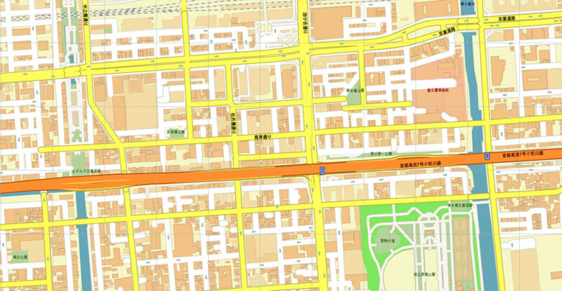
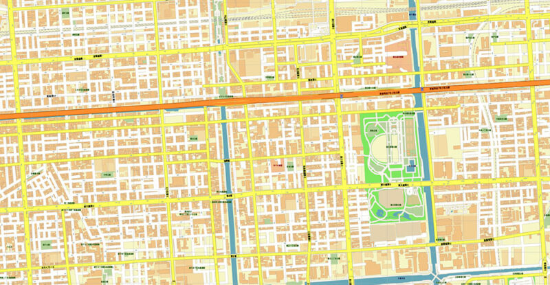
Koto City Tokyo Japan Map PDF Vector Exact City Plan High Detailed Street Map editable Adobe PDF in layers
$ 51.30
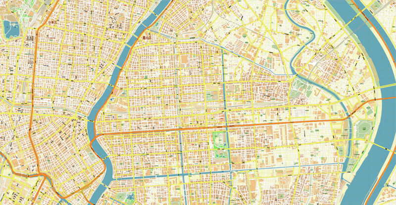
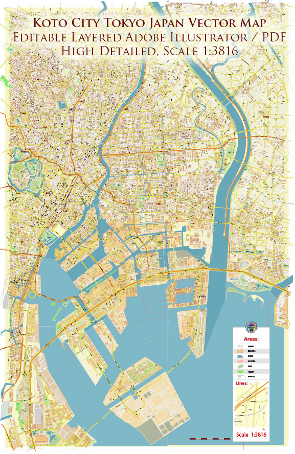
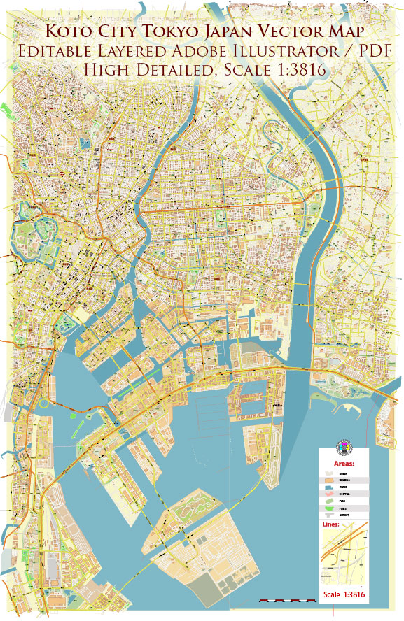
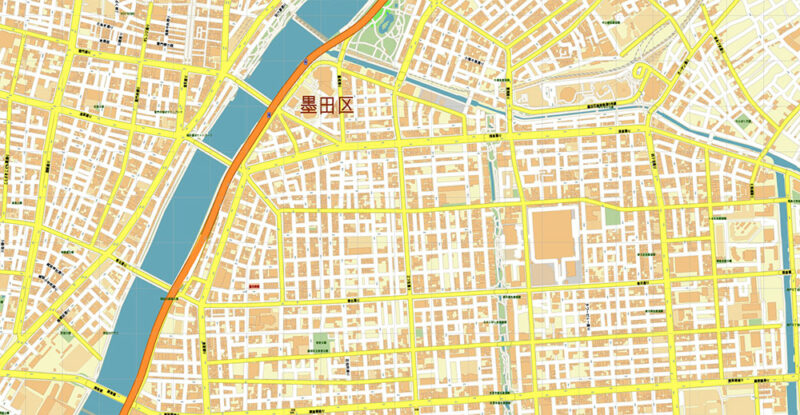
Printable PDF Vector Map of Koto City Tokyo Japan detailed street map scale 1:3816 full editable Adobe PDF in Layers scalable, text all names, 58 MB ZIP All street names, Main Objects, Buildings. Map for design, printing, arts, projects, presentations, for architects, designers, and builders, business, logistics. Koto City Tokyo Japan Map PDF Vector Exact City Plan High Detailed Street Map editable Adobe PDF in layers Layers list: Legend and scale Grids Labels of roads Names of places (city, hamlet, etc.) Names of objects (parks, water, Hospitals) Names of main streets Names of residential streets Arrows of streets Main Streets, roads Residential streets Buildings Buildings 2 transparent 50% Airports and Heliports Water objects (rivers, lakes, ponds) Waterways Color fills (parks, hospital areas, land use, etc.) Islands Background and sea The most exact and detailed map of the city in scale. For Editing and High-Quality Printing AO BRIEF — KŌTŌ CITY (TOKYO) Cartographic / Production-Oriented Version AREA OVERVIEW Administrative unit: Special Ward (Tokyo Metropolis) AO footprint: ~43 km² Urban type: High-density lowland coastal grid (delta reclaimed land) Functional role: Residential redevelopment logistics interface with Tokyo Bay TERRAIN & BASE SURFACE Relief: Completely flat (0–5 m, extensive sub-sea-level sectors) Genesis: Alluvial delta (Sumida–Arakawa system) large-scale land reclamation Hydrology: Primary boundaries: Sumida River (W), Arakawa River (E) Internal: dense canal lattice (rectilinear engineered cuts) Coastal interface: Artificial waterfront (Toyosu, Ariake, Shinonome) Cartographic note: Use flat tone base water network emphasis Canal hierarchy must be clearly differentiated (primary vs drainage) ROAD NETWORK (PRIMARY STRUCTURE) Pattern: Semi-orthogonal grid, distorted by canals and reclamation phases Orientation bias: E–W corridors dominate connectivity to central Tokyo Primary arterials (map hierarchy — level 1): Eitai-dori (永代通り) — main W–E spine (critical outbound axis) Meiji-dori (明治通り / R306) — major N–S distributor Kiyosubashi-dori (清洲橋通り) — parallel N–S urban route Shiohama-dori (塩浜通り) — secondary E–W internal connector (local importance) Secondary grid (level 2): Dense local streets with irregular block geometry near canals Fine-grain subdivision in older districts (Kiba, Monzen-nakachō) Expressway system (level 0 / elevated): Shuto Expressway: Route 9 (Fukagawa Line) Bayshore Route (Wangan Line) Fully grade-separated, strong visual dominance Bridges (critical features): Limited crossing points over Sumida / Arakawa Must be symbolized as mobility nodes / choke points RAIL & TRANSIT LAYER High-density metro commuter rail overlay Lines cut across AO with station-driven micro-centers Strong directional bias: Westbound commuter flow → central Tokyo Cartographic note: Rail lines = primary structural overlay after roads Stations act as label anchors / density peaks URBAN FABRIC Zoning pattern: North / inland: traditional low-rise grid, dense parceling Central: mixed residential canal network South (bayfront): High-rise residential clusters Large parcels, planned geometry Exhibition / logistics zones (Ariake, Toyosu) Block morphology: Irregular in legacy zones Large-scale orthogonal blocks in reclaimed areas DEMOGRAPHY (MAPPING CONTEXT) Population: ~540K Density: high, but visually variable by district Older zones → fine-grain dense texture Waterfront → vertical density (towers, open spacing) Population dynamics: Daytime: outflow to central Tokyo Nighttime: residential concentration Cartographic implication: Density best expressed via building footprint intensity, not color fill ENVIRONMENTAL FACTORS (MAP RELEVANCE) Flood control infrastructure critical but mostly invisible Liquefaction-prone zones (reclaimed land — southern AO) Minimal elevation variation → no need for contour emphasis HAZARDS (STRUCTURAL) Flood / storm surge exposure (Tokyo Bay) Drainage dependency (pumping systems) Bridge dependency → network fragility CARTOGRAPHIC PRIORITIES Emphasize: Water network (rivers canals) Primary road hierarchy Bridge locations De-emphasize: Minor elevation (negligible) Label strategy: Selective road naming (Japan = limited official street names) Prefer district landmark labeling over dense street labels COMMAND TAKEAWAYS Flat delta megacity fragment with engineered hydrology Movement structure defined by E–W corridors bridge nodes Urban texture shifts sharply: legacy grid → modern reclaimed blocks Water is the dominant organizing element (not terrain) Koto City Tokyo Japan Map PDF Vector Exact City Plan High Detailed Street Map editable Adobe PDF in layers Koto City Tokyo Japan Map PDF Vector Exact City Plan High Detailed Street Map editable Adobe PDF in layers Koto City Tokyo Japan Map PDF Vector Exact City Plan High Detailed Street Map editable Adobe PDF in layers Koto City Tokyo Japan Map PDF Vector Exact City Plan High Detailed Street Map editable Adobe PDF in layers Koto City Tokyo Japan Map PDF Vector Exact City Plan High Detailed Street Map editable Adobe PDF in layers Koto City Tokyo Japan Map PDF Vector Exact City Plan High Detailed Street Map editable Adobe PDF in layers Koto City Tokyo Japan Map PDF Vector Exact City Plan High Detailed Street Map editable Adobe PDF in layers Koto City Tokyo Japan Map PDF Vector Exact City Plan High Detailed Street Map editable Adobe PDF in layers