Hole in the Ground – Lake County – Eastern Oregon
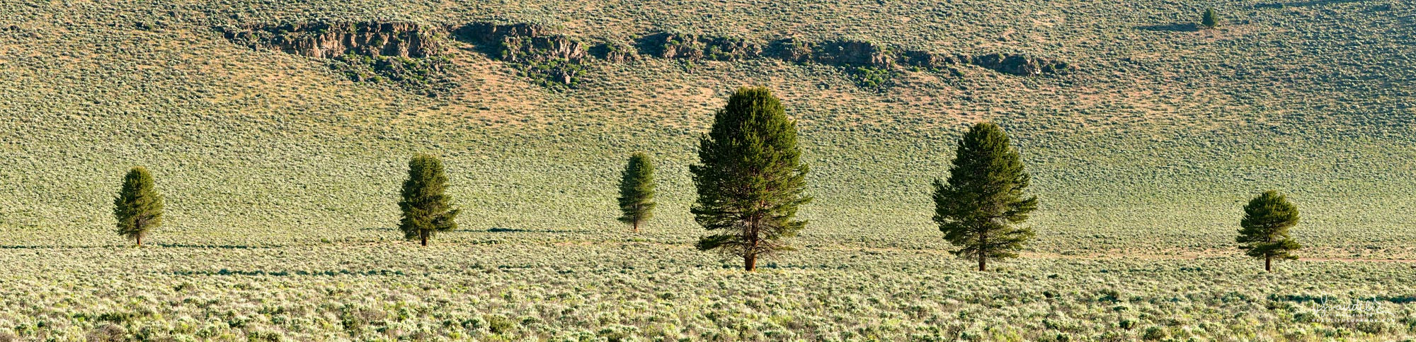
Hole in the Ground – Lake County – Eastern Oregon
$ 96.23
This sweeping panorama of Ponderosa Pine and Sage Brush was taken at the bottom of Fort Rock Basin’s iconic ‘Hole in the Ground’. Formed between 13,500 and 18,000 years ago, Hole in the Ground is a textbook example of ‘maar’, a type of volcanic explosion crater. Formed by an intrusive plume of basaltic magma flashing on the water logged strata of a late Pleistocene era lake shore, Hole in the Ground measures an impressive one mile in diameter, and is approximately 490 feet in depth. Fremont National Forest, Lake County, Oregon. Fremont National Forest, Lake County, Ponderosa, Sage
Related products
Sale!
$ 57.60
Sale!
Sale!